The Camino Francés can be walked during less crowded months. November and December have lower crowd indexes. These months offer a more serene experience.
The Quietest Months to Walk the Camino Francés
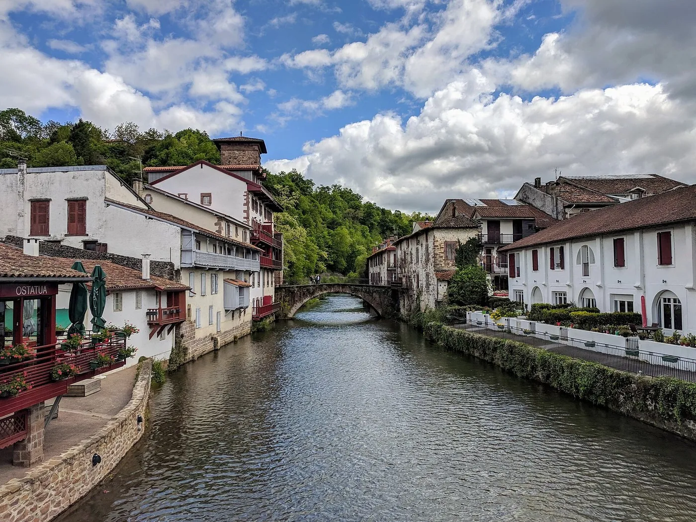
Through: Saint-Jean-Pied-de-Port · Pamplona · Burgos · León · Sarria · Santiago de Compostela
Introduction to the Camino Francés
The Camino Francés is a popular pilgrimage route that attracts many walkers each year. To avoid the crowds, it's essential to plan your walk during the less crowded months. The crowd index, which measures the relative visitor interest, can help you decide when to start your journey. With a crowd index of 1.0, Santiago de Compostela is the most visited town on the route, while towns like O Pedrouzo have a significantly lower crowd index of 0.0031. The route passes through various towns, each with its own unique character, such as Sarria, which has a crowd index of 0.2297. Walkers can expect to find various amenities and points of interest, including churches and viewpoints, along the way. The practical rhythm of the walk can be maintained by following the route and taking regular breaks in the towns and villages along the way.

Understanding Crowd Index
The crowd index is a useful tool for understanding the relative popularity of each town on the Camino Francés. It's calculated by dividing the monthly average page views of a town by the maximum monthly average page views across all towns on the route. This gives a normalized value between 0 and 1, where 1 is the most visited town. For example, Pamplona has a crowd index of 0.9276, indicating it's one of the most popular towns on the route, while Sarria has a crowd index of 0.2297, making it less crowded. The pageview seasonality data shows that towns like Santiago de Compostela and Pamplona experience a significant increase in visitors during certain months. The crowd index contrast between towns can inform your decision on when to walk, with less crowded towns offering a more peaceful experience.
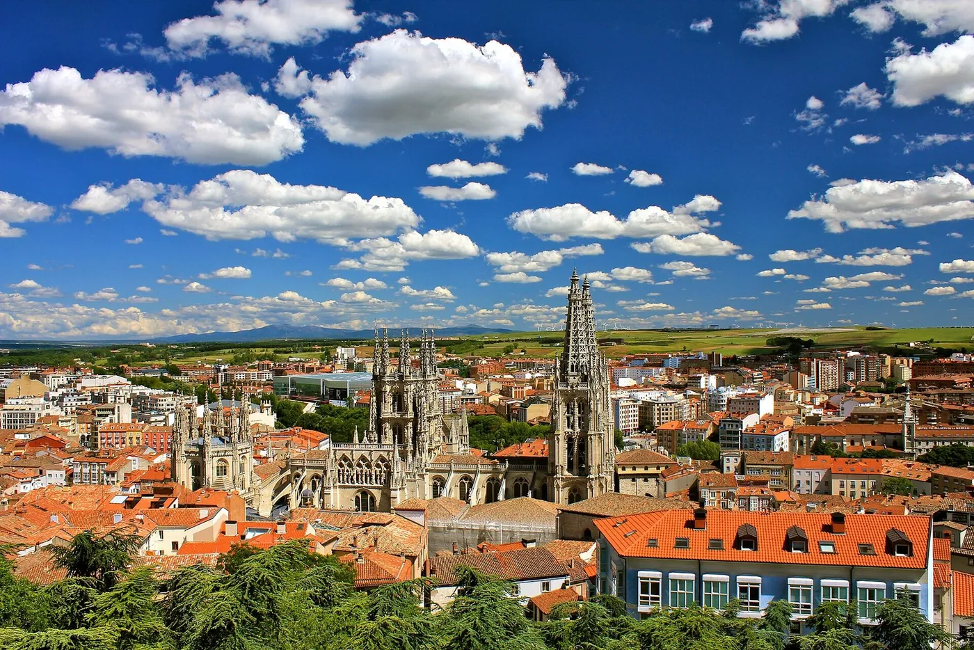
Monthly Crowd Trends
The monthly crowd trends show that the summer months are the busiest, with towns like Santiago de Compostela and Pamplona experiencing a significant increase in visitors. In contrast, the winter months, such as November and December, have lower crowd indexes, making them ideal for walkers who prefer a more peaceful experience. The climate in these months is generally cooler, with average temperatures ranging from 6.0 to 10.0 degrees Celsius in Sarria, and 3.2 to 8.6 degrees Celsius in Burgos. Walkers can expect to find a more serene atmosphere during these months, with fewer walkers and a greater sense of tranquility. The towns along the route offer a range of amenities and points of interest, including heritage flags and fountains.
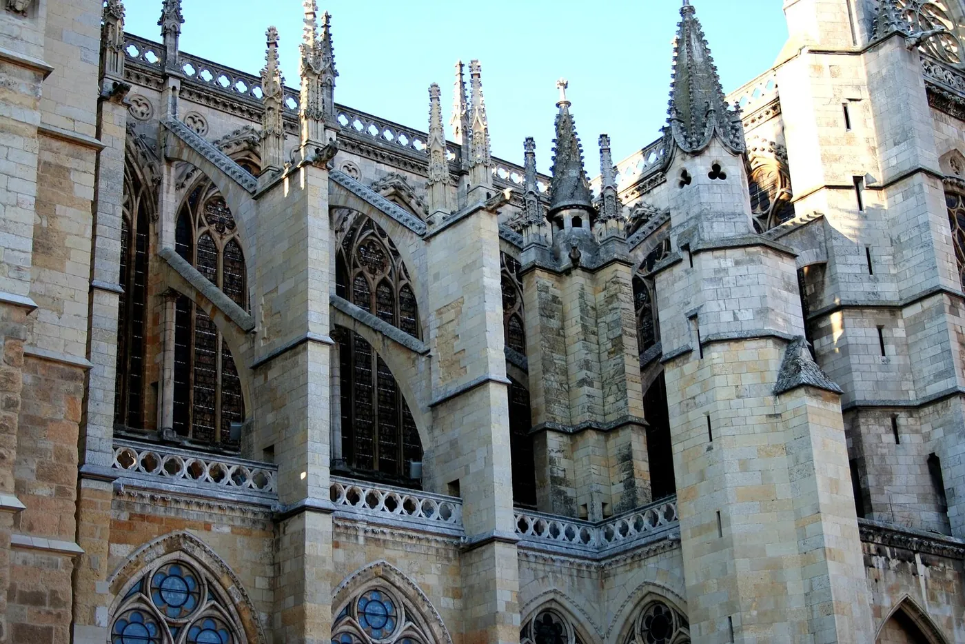
Less Crowded Sections of the Route
The route can be divided into sections, each with its own unique character and crowd index. The quietest sections tend to be in the western part of the route, where towns like O Pedrouzo and Hontanas have lower crowd indexes. These sections offer a more serene experience, with fewer walkers and a greater sense of tranquility. The towns in this section, such as Sarria and Portomarín, have a range of points of interest, including churches and viewpoints. Walkers can expect to find a more peaceful atmosphere in these sections, with a greater sense of connection to the natural surroundings. The practical rhythm of the walk can be maintained by following the route and taking regular breaks in the towns and villages along the way, enjoying the unique character of each town.
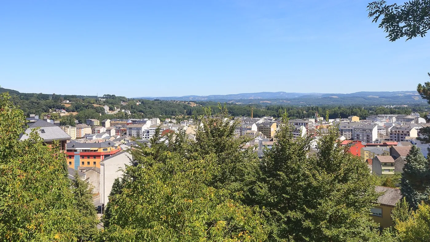
Weather Considerations
When planning your walk, it's essential to consider the weather. The climate in the Camino Francés region varies throughout the year, with the summer months being the warmest and the winter months being the coolest. The average temperature in Santiago de Compostela ranges from 7.3 to 18.6 degrees Celsius, while in Pamplona it ranges from 4.6 to 20.2 degrees Celsius. The precipitation also varies, with the winter months tend to be wetter than the summer months. Walkers should be prepared for the weather conditions, with appropriate clothing and gear. The climate data can inform your decision on when to walk, with the cooler months offering a more comfortable walking experience. The towns along the route offer a range of amenities and services to support walkers.
Planning Your Walk
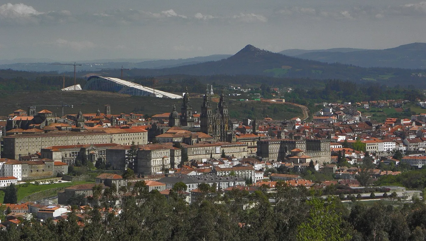
To plan your walk, consider the crowd index and climate of each town. The quietest months to walk the Camino Francés are November and December, when the crowd index is lower and the weather is generally cooler. With careful planning, you can have a more peaceful and enjoyable experience on the Camino Francés. The WalkSage audio guide can provide valuable insights and information about the route and its points of interest, including the churches and viewpoints in towns like Sarria and Santiago de Compostela. Walkers can maintain a practical rhythm by following the route and taking regular breaks in the towns and villages along the way, enjoying the unique character of each town and the natural surroundings. The OSM tags indicate the presence of various points of interest, including heritage flags and fountains, which can enhance the walking experience.
The data: every route town, ranked by crowds
Our crowd index is the town's average monthly Wikipedia pageviews over the last 12 months, normalized to the most-viewed town on the route. It is a proxy for attention, not a turnstile count — but it is measured, reproducible, and the same yardstick for every town.
| Rank | Town | Crowd index (1.00 = most viewed) |
|---|---|---|
| 1 | Santiago de Compostela | 1.0 |
| 2 | Pamplona | 0.9276 |
| 3 | Burgos | 0.9097 |
| 4 | León | 0.8235 |
| 5 | Ponferrada | 0.6693 |
| 6 | Logroño | 0.6196 |
| 7 | Astorga | 0.4671 |
| 8 | Santo Domingo de la Calzada | 0.4065 |
| 9 | Estella | 0.3054 |
| 10 | Carrión de los Condes | 0.2714 |
| 11 | Nájera | 0.2464 |
| 12 | Sarria | 0.2297 |
| 13 | Frómista | 0.1927 |
| 14 | Saint-Jean-Pied-de-Port | 0.1758 |
| 15 | Roncesvalles | 0.1644 |
| 16 | Villafranca del Bierzo | 0.1517 |
| 17 | Puente la Reina | 0.1423 |
| 18 | Belorado | 0.1262 |
| 19 | Castrojeriz | 0.1241 |
| 20 | Arzúa | 0.0888 |
| 21 | Palas de Rei | 0.085 |
| 22 | Portomarín | 0.0734 |
| 23 | Mansilla de las Mulas | 0.0707 |
| 24 | O Cebreiro | 0.0594 |
| 25 | Los Arcos | 0.049 |
| 26 | Zubiri | 0.0348 |
| 27 | Triacastela | 0.0287 |
| 28 | El Burgo Ranero | 0.0263 |
| 29 | Rabanal del Camino | 0.018 |
| 30 | Terradillos de los Templarios | 0.0167 |
| 31 | Agés | 0.0126 |
| 32 | San Martín del Camino | 0.0107 |
| 33 | Hontanas | 0.0103 |
| 34 | O Pedrouzo | 0.0031 |
Sources
- https://www.wikidata.org/wiki/Q270294
- https://wikimedia.org/api/rest_v1/metrics/pageviews/per-article/es.wikipedia/all-access/user/San_Juan_Pie_de_Puerto/monthly/20250801/20260731
- https://archive-api.open-meteo.com/v1/archive?latitude=43.163222&longitude=-1.238111&start_date=1991-01-01&end_date=2020-12-31&daily=temperature_2m_mean%2Cprecipitation_sum&timezone=UTC
- https://www.wikidata.org/wiki/Q10282
- https://wikimedia.org/api/rest_v1/metrics/pageviews/per-article/es.wikipedia/all-access/user/Pamplona/monthly/20250801/20260731
- https://archive-api.open-meteo.com/v1/archive?latitude=42.816667&longitude=-1.65&start_date=1991-01-01&end_date=2020-12-31&daily=temperature_2m_mean%2Cprecipitation_sum&timezone=UTC
- https://www.wikidata.org/wiki/Q9580
- https://wikimedia.org/api/rest_v1/metrics/pageviews/per-article/es.wikipedia/all-access/user/Burgos/monthly/20250801/20260731
- https://archive-api.open-meteo.com/v1/archive?latitude=42.340833&longitude=-3.699722&start_date=1991-01-01&end_date=2020-12-31&daily=temperature_2m_mean%2Cprecipitation_sum&timezone=UTC
- https://www.wikidata.org/wiki/Q15699
- https://wikimedia.org/api/rest_v1/metrics/pageviews/per-article/es.wikipedia/all-access/user/Le%C3%B3n_%28Espa%C3%B1a%29/monthly/20250801/20260731
- https://archive-api.open-meteo.com/v1/archive?latitude=42.598889&longitude=-5.566944&start_date=1991-01-01&end_date=2020-12-31&daily=temperature_2m_mean%2Cprecipitation_sum&timezone=UTC
- https://www.wikidata.org/wiki/Q174833
- https://wikimedia.org/api/rest_v1/metrics/pageviews/per-article/es.wikipedia/all-access/user/Sarria/monthly/20250801/20260731
- https://archive-api.open-meteo.com/v1/archive?latitude=42.777778&longitude=-7.414444&start_date=1991-01-01&end_date=2020-12-31&daily=temperature_2m_mean%2Cprecipitation_sum&timezone=UTC
- https://www.wikidata.org/wiki/Q14314
- https://wikimedia.org/api/rest_v1/metrics/pageviews/per-article/es.wikipedia/all-access/user/Santiago_de_Compostela/monthly/20250801/20260731
- https://archive-api.open-meteo.com/v1/archive?latitude=42.883333&longitude=-8.533333&start_date=1991-01-01&end_date=2020-12-31&daily=temperature_2m_mean%2Cprecipitation_sum&timezone=UTC