This stage from Triacastela to Sarria offers a mix of quiet archaeological sites and memorials. Triacastela has a crowd index of 0.0287, while Sarria's is 0.2297. The climate in the area is generally mild, with mean temperatures ranging from 6.0 to 19.1 degrees Celsius.
Camino Francés Stage 28: Triacastela to Sarria — The Explorer's Guide
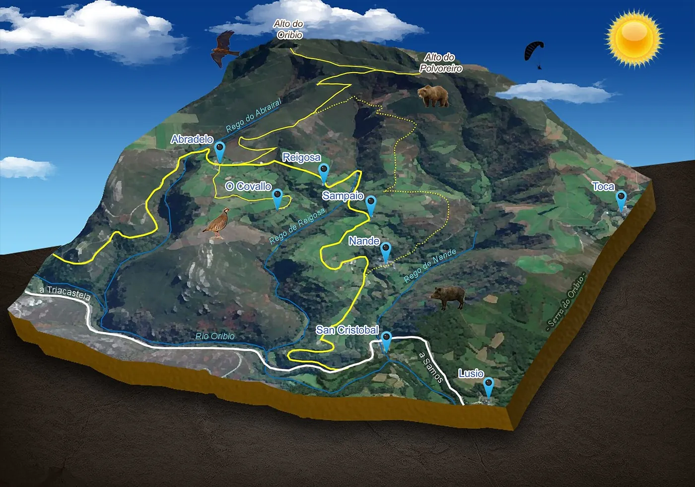
Through: Triacastela · Sarria
Introduction to Stage 28
Stage 28 of the Camino Francés spans from Triacastela to Sarria, presenting walkers with a unique blend of historical sites and natural landscapes. The starting point, Triacastela, is characterized by its low crowd index of 0.0287, indicating a more serene walking experience. In contrast, Sarria has a crowd index of 0.2297, reflecting its popularity among walkers. As walkers embark on this stage, they can expect to encounter a variety of archaeological sites, memorials, and viewpoints that showcase the region's rich history and cultural significance. The mean temperature in the area ranges from 6.0 to 19.1 degrees Celsius, making it an ideal time to explore the outdoors. With its mix of quiet paths and bustling towns, this stage offers something for every type of walker. Walkers can expect to see a range of sites, including monuments, memorials, and archaeological sites, as they make their way through the stage.
Triacastela: Starting Point
Triacastela serves as the starting point for Stage 28, offering walkers a peaceful beginning to their journey. With a crowd index of 0.0287, Triacastela provides a serene atmosphere, allowing walkers to acclimate to the stage's unique blend of archaeological sites and natural landscapes. The town's quiet nature makes it an ideal place to prepare for the day's walk, which will take walkers through a variety of landscapes and historical sites. As walkers depart Triacastela, they can expect to encounter a range of interesting sites, including the Monumento ao Peregrino and the Castro de Triacastela. The town's mild climate, with mean temperatures ranging from 4.8 to 18.3 degrees Celsius, makes it an ideal starting point for the stage. The pageview seasonality data shows that Triacastela has a relatively low number of views, with 452.6 monthly average pageviews, indicating a less crowded experience for walkers.
Map
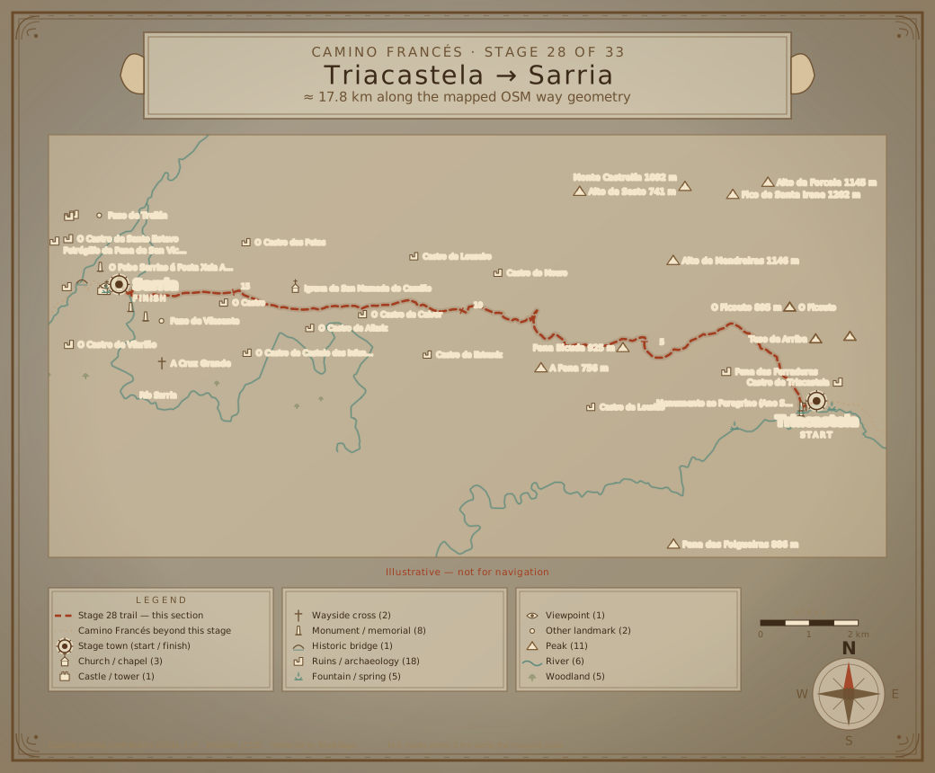
The Quiet Path to Sarria
The path from Triacastela to Sarria is characterized by its quiet nature, with walkers passing through a variety of archaeological sites and memorials. The crowd index increases significantly as walkers approach Sarria, which has a crowd index of 0.2297. Despite the increase in crowds, the path remains scenic, with walkers passing through rolling hills and picturesque landscapes. The mean temperature in the area ranges from 6.0 to 19.1 degrees Celsius, making it an ideal time to explore the outdoors. As walkers make their way to Sarria, they can expect to encounter a range of interesting sites, including the Pena das Ferraduras and the O Castro de Lagares. The quiet path provides a unique opportunity for walkers to reflect on their journey and connect with the natural beauty of the surroundings. The pageview seasonality data shows that Sarria has a higher number of views, with 3626.4 monthly average pageviews, indicating a more popular destination among walkers.
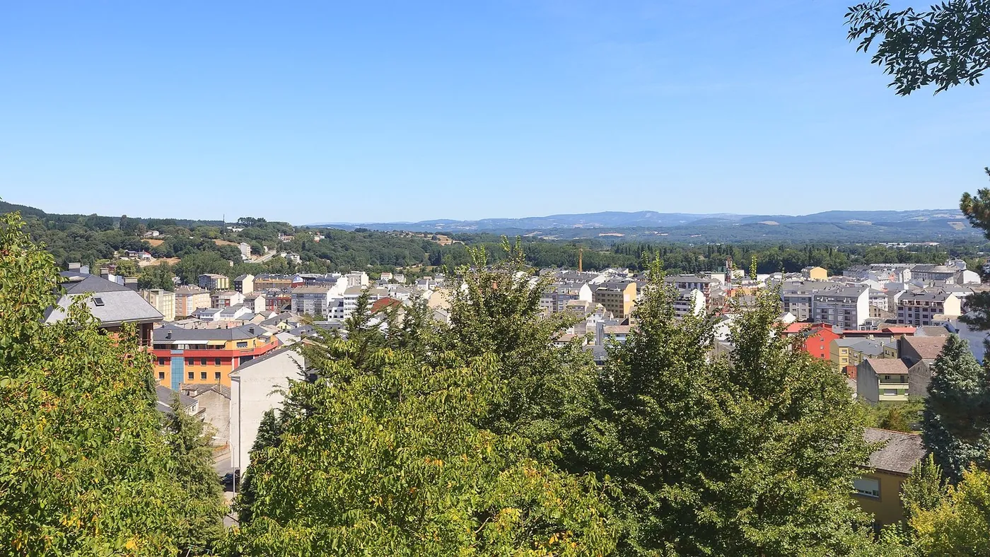
Exploring Sarria's Archaeological Sites
Sarria is home to a range of archaeological sites, including the O Castro de Santo Estevo and the Petróglifo da Pena de San Vicente. These sites provide a unique glimpse into the region's history and cultural significance. Walkers can explore the sites at their own pace, taking in the intricate details and learning about the region's past. The crowd index in Sarria is 0.2297, indicating a more populated area, but the archaeological sites remain a highlight of the stage. With mean temperatures ranging from 6.0 to 19.1 degrees Celsius, walkers can comfortably explore the sites and take in the surrounding landscapes. The OSM tags indicate that Sarria has a range of archaeological sites, including the O Castro de Vilariño and the Mámoa de Treilán, which walkers can visit as they explore the town.
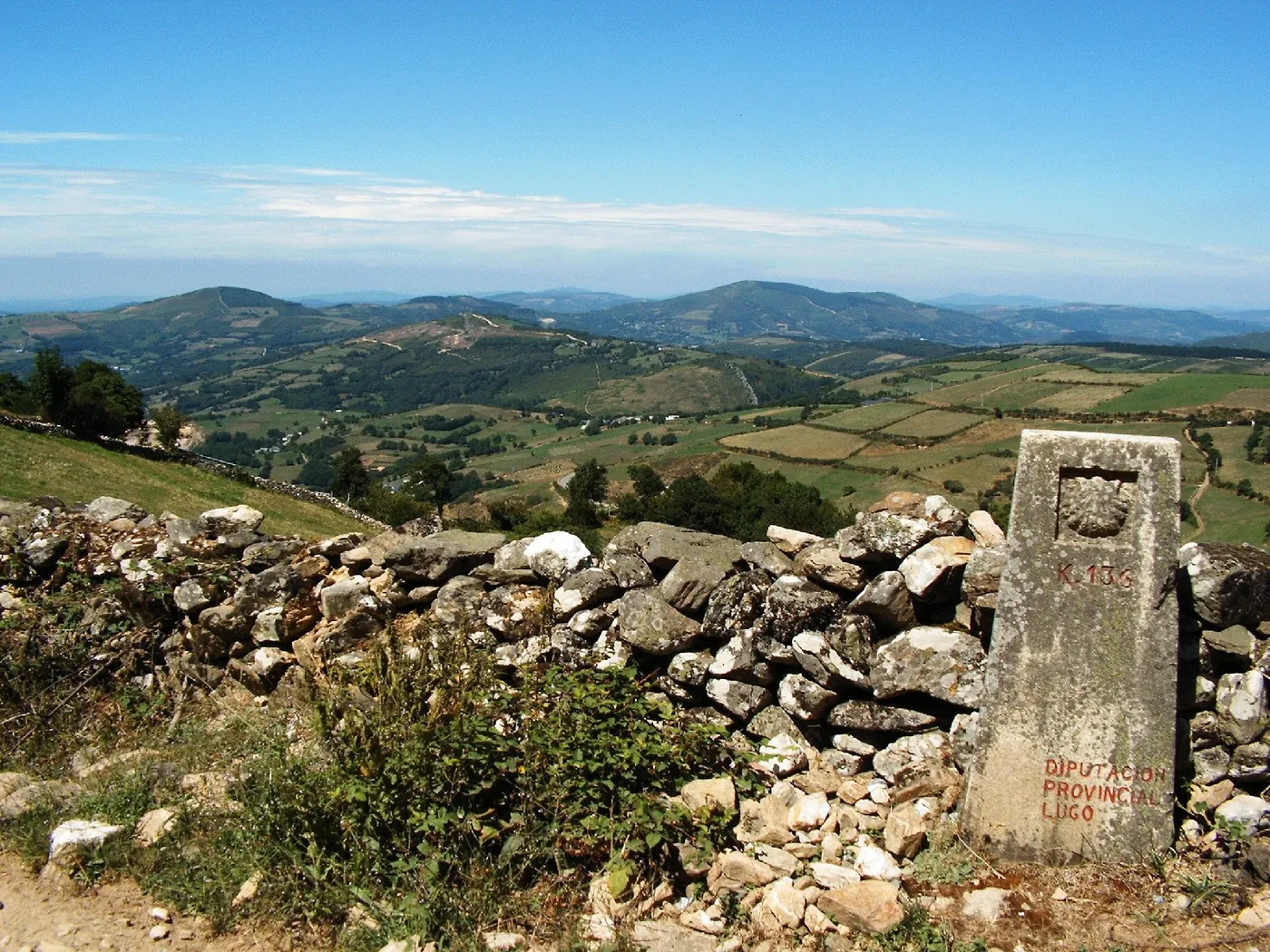
Memorials and Viewpoints Along the Way
In addition to archaeological sites, the path from Triacastela to Sarria is dotted with memorials and viewpoints. The Miradoiro do Cárcere offers a panoramic view of the surrounding landscape, while the Avelino Pousa Antelo memorial provides a poignant reminder of the region's history. Walkers can take a moment to reflect on the significance of these sites, taking in the tranquil atmosphere and connecting with the natural beauty of the surroundings. The crowd index increases as walkers approach Sarria, but the memorials and viewpoints remain a highlight of the stage. With mean temperatures ranging from 6.0 to 19.1 degrees Celsius, walkers can comfortably explore the sites and take in the surrounding landscapes. The OSM tags indicate that the path is marked by a range of memorials, including the Ricardo Núñez Rodríguez memorial and the Sarria aos concelleiros da II República memorial, which walkers can visit as they make their way through the stage.
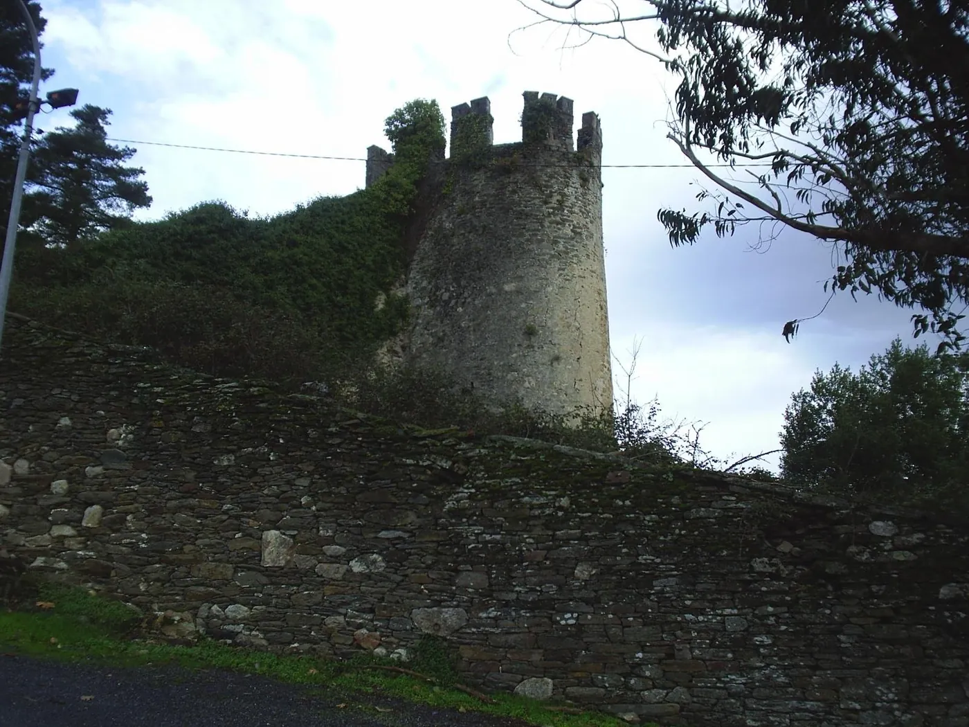
Conclusion: A Blend of History and Nature
Stage 28 of the Camino Francés offers a unique blend of historical sites, memorials, and natural landscapes. From the quiet paths of Triacastela to the bustling town of Sarria, walkers can experience the region's history and cultural significance. As they make their way through the stage, walkers can appreciate the range of sites, including monuments, memorials, and archaeological sites. The crowd index contrast between Triacastela and Sarria provides a unique experience for walkers, with the quiet paths of Triacastela giving way to the more populated town of Sarria. With the mild climate and scenic landscapes, this stage is an ideal opportunity for walkers to connect with the natural beauty of the surroundings and reflect on their journey.
Points of interest
In walking order. Each stop is the audio chapter you'll hear in the app: the story, the Local Angle, and the sources behind both.
Pena das Ferraduras
archaeological siteCrowds: not yet measuredPena das Ferraduras is an archaeological site. It is located on the walk from Triacastela to Sarria. The site has historic significance. It can be found along the route.
Local Angle
Less visited than Sarria's viewpoints, Pena das Ferraduras offers a quiet stop.
42.76173, -7.26238Sources: openstreetmap.org
Nogueira do Camiño Vello
memorialCrowds: not yet measuredNogueira do Camiño Vello is a memorial with a plaque. It is situated on the walk. The memorial commemorates something. It has a plaque.
Local Angle
With a lower crowd index than Sarria, this memorial is a quieter spot.
42.75525, -7.24360Sources: openstreetmap.org
Miradoiro do Cárcere
viewpointCrowds: not yet measuredMiradoiro do Cárcere is a viewpoint. It offers a view. The viewpoint is located on the walk from Triacastela to Sarria. It has a tourism tag.
Local Angle
As a viewpoint, it may attract some visitors, but its pageview data is lower than Sarria's other spots.
42.77753, -7.41777Sources: openstreetmap.org
Mámoa de Treilán
archaeological siteCrowds: not yet measuredMámoa de Treilán is an archaeological site. It has a description as a Mámoa. The site is historic. It is located near Sarria.
Local Angle
This archaeological site is one of several near Sarria, offering a quieter alternative to the town's busy areas.
42.79061, -7.42576Sources: openstreetmap.org
A Ponte da Áspera
bridgeCrowds: not yet measuredA Ponte da Áspera is a historic bridge. It has a bridge tag. The bridge is old. It spans a waterway.
Local Angle
With its historic tag, this bridge is a notable feature on the walk, away from the crowds in Sarria.
42.77841, -7.42375Sources: openstreetmap.org
Climate (Sarria (1991–2020 normals, nearest model grid point))
| Month | Mean temp (°C) | Precipitation (mm) |
|---|---|---|
| Jan | 6 | 107.2 |
| Feb | 6.5 | 82 |
| Mar | 8.8 | 87.9 |
| Apr | 10.3 | 90.4 |
| May | 13.3 | 77 |
| Jun | 16.7 | 52.2 |
| Jul | 18.9 | 27.9 |
| Aug | 19.1 | 35.5 |
| Sep | 16.8 | 56.5 |
| Oct | 13.2 | 113.1 |
| Nov | 9 | 121.3 |
| Dec | 6.8 | 119 |
Climate data: archive-api.open-meteo.com. Missing values are shown as "—", never estimated.
Sources
- https://www.wikidata.org/wiki/Q636874
- https://wikimedia.org/api/rest_v1/metrics/pageviews/per-article/es.wikipedia/all-access/user/Triacastela/monthly/20250801/20260731
- https://archive-api.open-meteo.com/v1/archive?latitude=42.75634&longitude=-7.239746&start_date=1991-01-01&end_date=2020-12-31&daily=temperature_2m_mean%2Cprecipitation_sum&timezone=UTC
- https://www.wikidata.org/wiki/Q174833
- https://wikimedia.org/api/rest_v1/metrics/pageviews/per-article/es.wikipedia/all-access/user/Sarria/monthly/20250801/20260731
- https://archive-api.open-meteo.com/v1/archive?latitude=42.777778&longitude=-7.414444&start_date=1991-01-01&end_date=2020-12-31&daily=temperature_2m_mean%2Cprecipitation_sum&timezone=UTC
- https://www.openstreetmap.org/relation/2163573