Travel like an explorer, never a tourist.
WalkSage narrates the places the crowds walk past — the quiet chapel, the side street, the spot only locals mention. Hidden gems and less-traveled paths, exclusively. If a place is an overcrowded staple, we skip it and tell you what to find instead.
How WalkSage works
The app is built around points of interest. As you walk, each POI you approach unlocks a short audio chapter — no fixed tour order, no group, no umbrella to follow. Every chapter has the same anatomy:
The story
A researched narrative of the place — history, character, and why it matters — written to be listened to, not read off a plaque.
The Local Angle
What locals know that guidebooks skip: the better vantage point, the quieter hour, the detail everyone else walks past.
Confidence & sources
Each claim carries a confidence rating and cited sources. When something can't be verified, the app says so instead of making it up.
Explorer's compass
Guides favor hidden gems and less-traveled paths by design. Overcrowded tourist staples are deliberately left out.
First campaign: the Camino Francés
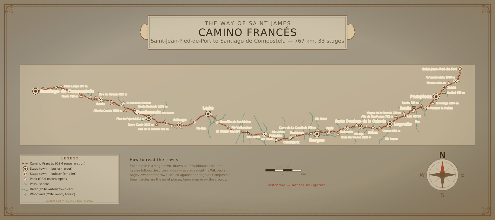
View the route →We're building WalkSage stage by stage along the Camino de Santiago's French Way — from Saint-Jean-Pied-de-Port in the Pyrenean foothills to Santiago de Compostela in Galicia, planned as a 33-stage campaign. Each stage guide maps the towns, the points of interest worth slowing down for, and the local angles the flow of pilgrims streams straight past.
Browse all guides or read about the open data this site is built on — OpenStreetMap, Wikidata, Wikipedia, and Open-Meteo.