Free Camino route maps
Every WalkSage map is drawn from a real OpenStreetMap route relation — the line follows the recorded path of the trail, not an illustrator's idea of it. The styling is invented; the geography never is. You are welcome to use these on your own site.
Terms, in one paragraph
Use them anywhere, including commercially, as long as the credit stays visible: a link back to WalkSage and the OpenStreetMap attribution. The maps are a produced work derived from OpenStreetMap data, which is licensed ODbL v1.0, and that licence requires the data credit to travel with the image. Both credits are already inside every embed block below — copy it whole and you have met the terms. Full upstream licensing is on data & sources.
Camino Francés
The Camino Francés, end to end — 33 stages from the Pyrenees to Santiago.
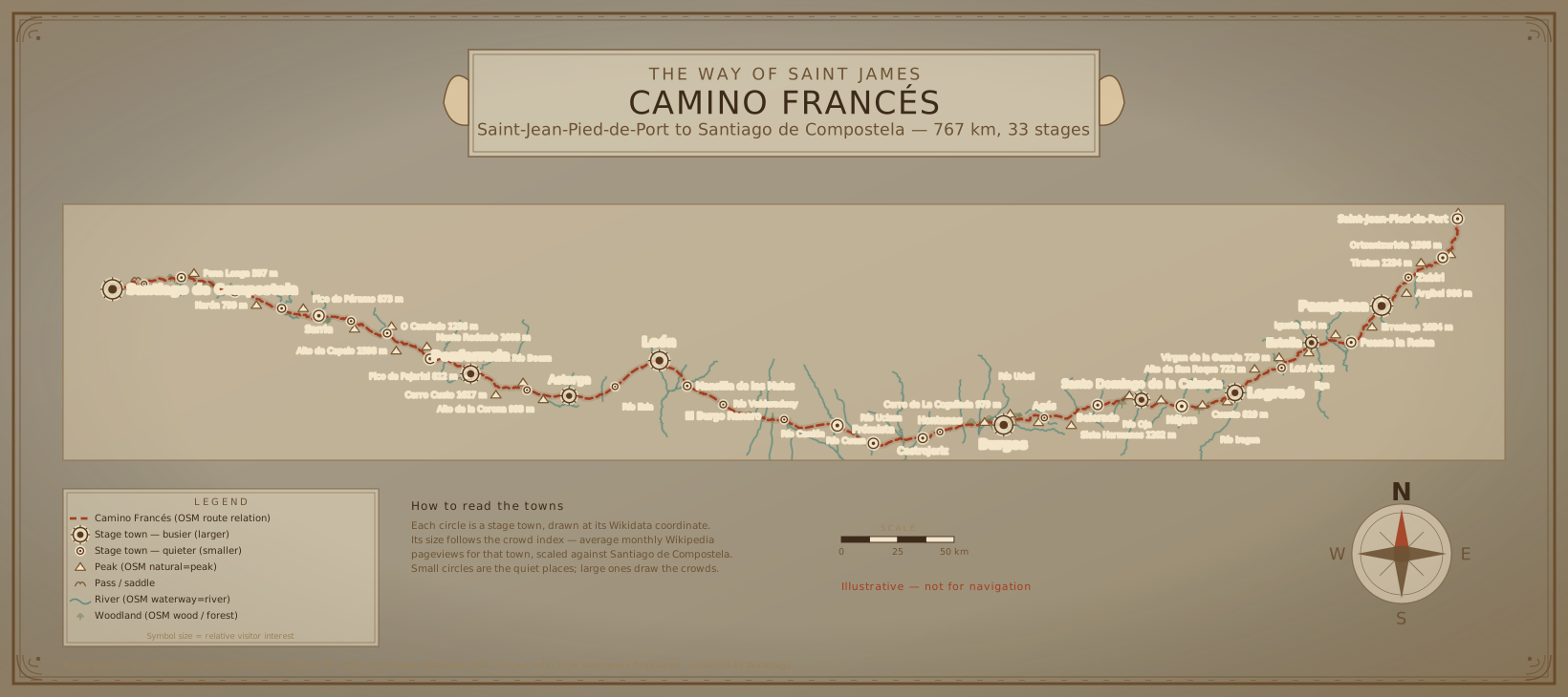
Download the SVG — drawn from the OpenStreetMap route relation, not sketched by hand.
Embed code — paste this anywhere. The credit line is part of the block; please keep it.
Camino Portugués
The Camino Portugués: two ways out of Porto, one route from Redondela to Santiago.
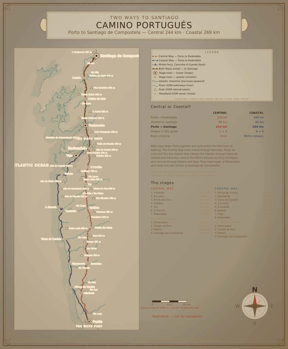
Download the SVG — drawn from the OpenStreetMap route relation, not sketched by hand.
Embed code — paste this anywhere. The credit line is part of the block; please keep it.
Stage maps
Every stage has its own map as well — browse the guides and take any of them under the same terms. If you want a bulk set, or a map of a route we haven't drawn yet, the renderer is deterministic and re-running it is cheap — ask.