Starting in Porto, with a crowd index of 0.5691, pilgrims can explore heritage sites before heading to Vilarinho. The climate in Porto has a mean temperature of 9.3°C in January and 21.1°C in August. Vilarinho's crowd levels are not available.
Discovering the Central Way: Porto to Vilarinho
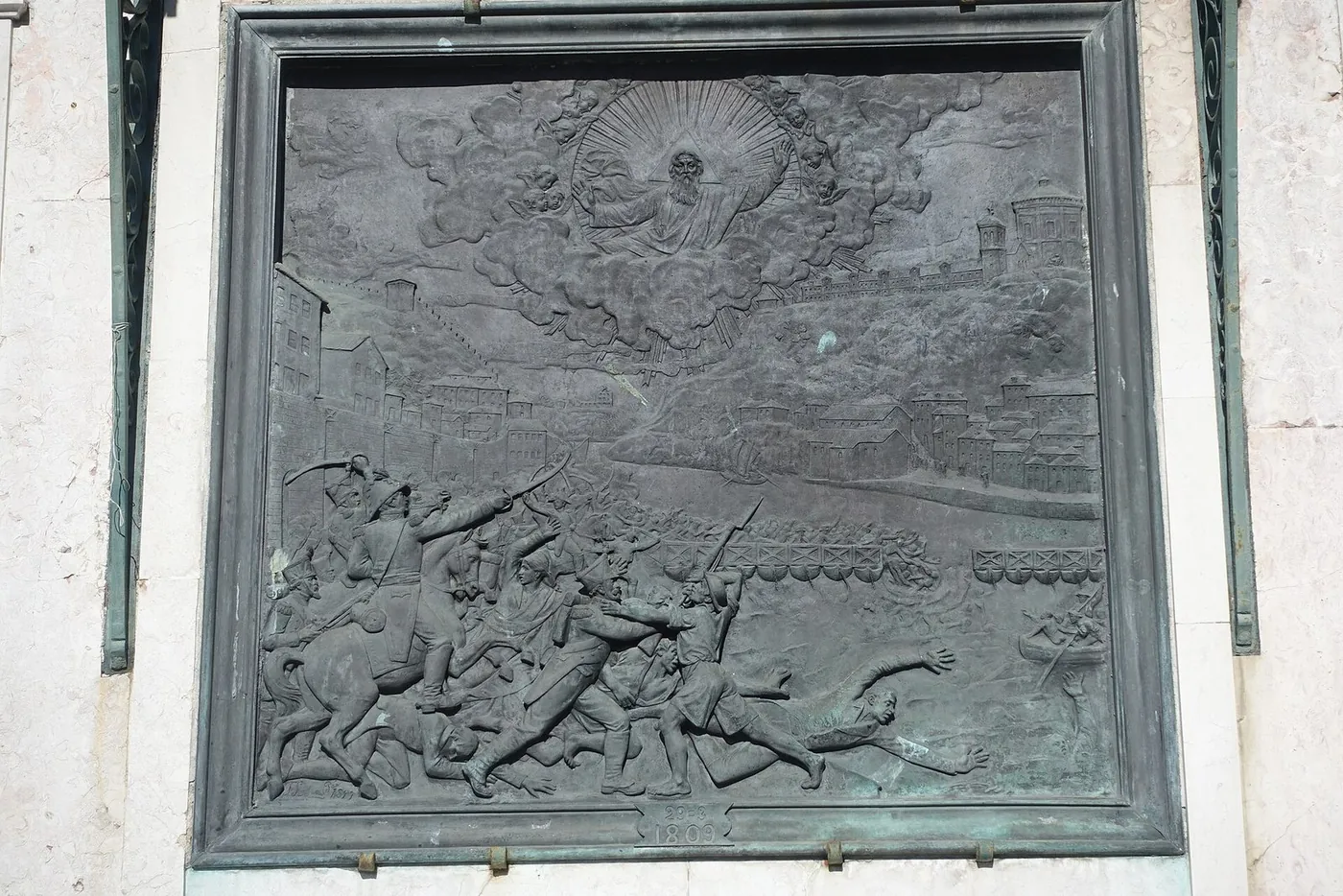
Through: Porto · Vilarinho
Introduction to Stage 1: Porto to Vilarinho
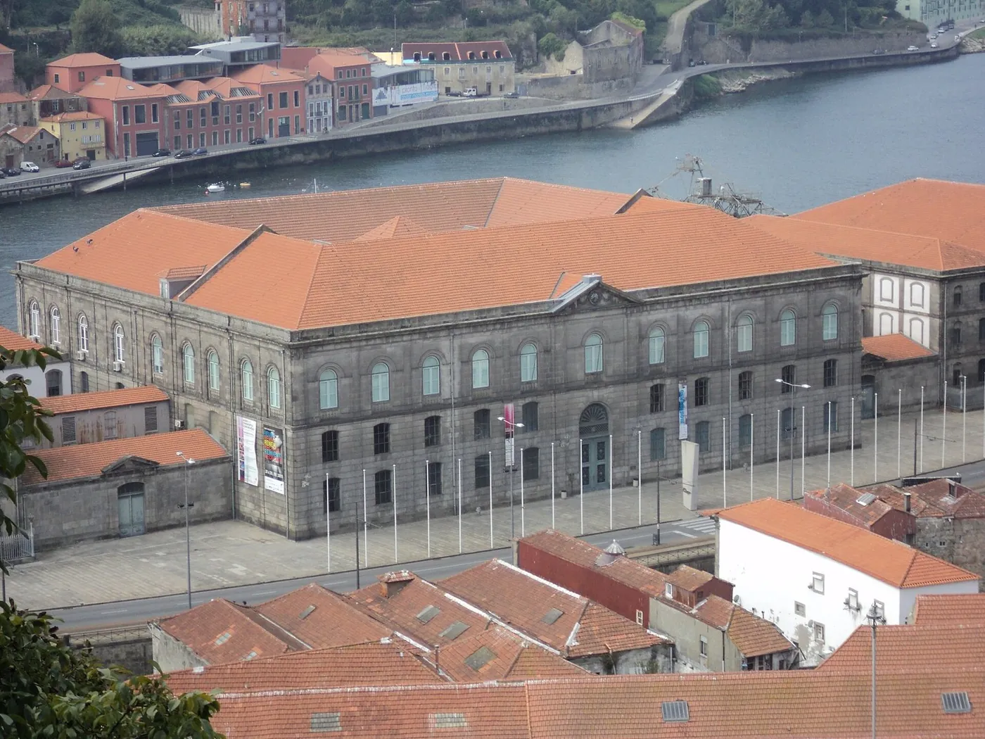
The Central Way of the Camino Portugués begins in Porto, a city with a rich cultural heritage. Pilgrims can explore the city's historic center, visiting notable landmarks and experiencing the local culture. The crowd index in Porto is 0.5691, indicating a moderate level of visitor activity. As pilgrims prepare to leave Porto, they can expect a climate with a mean temperature of 9.3°C in January and 21.1°C in August. The pageview seasonality data shows that Porto's popularity varies throughout the year, with higher pageviews in the summer months. This information can help pilgrims plan their trip and expect the level of activity in the city. By understanding the crowd index and pageview seasonality, pilgrims can better navigate the city and make the most of their experience.
Exploring Porto's Heritage Sites
Porto is home to numerous heritage sites, including the Igreja da Santíssima Trindade, a roman_catholic church with heritage designation. The Mercado do Bolhão, a historic marketplace and cultural heritage monument, is another notable site. Pilgrims can also visit the Igreja e Torre dos Clérigos, a baroque church and tower with national monument status. These sites offer a glimpse into Porto's rich history and cultural significance. The OSM tags indicate that these sites are popular tourist attractions, and pilgrims can expect to find them well-marked and accessible. By exploring these heritage sites, pilgrims can gain a deeper understanding of the city's culture and history. The practical rhythm of the walk will allow pilgrims to experience the local culture and try traditional cuisine, adding to their overall experience.
Map
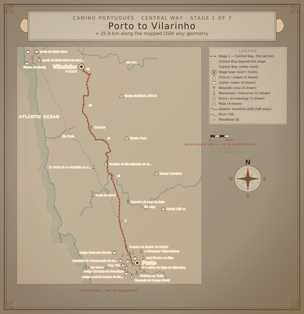
From Porto to the Countryside
As pilgrims leave Porto, they will enter the countryside, where the landscape and climate change. The mean temperature in January is 9.2°C, and in August, it is 21.0°C. The crowd levels in Vilarinho are not available, but pilgrims can expect a more rural and peaceful atmosphere. The scenic route will take them through rolling hills, villages, and historic sites, offering a unique perspective on the region's culture and history. The OSM tags indicate that the route passes through areas with historic city gates, city walls, and watermills, adding to the region's cultural significance. By walking through the countryside, pilgrims can experience the local culture and try traditional cuisine, and reflect on the contrast between the urban crowd index of Porto and the more rural atmosphere of Vilarinho.
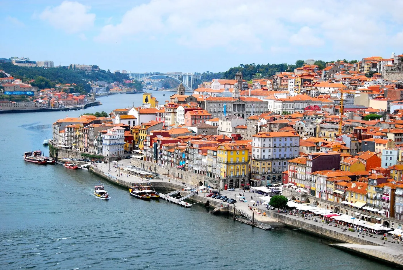
Vilarinho and its Surroundings
Vilarinho is a small town with a rich history and cultural heritage. Pilgrims can visit the Ponte Dom Zameiro, a cultural heritage monument and bridge in Vila do Conde. The Capela de Nossa Senhora da Ajuda, a roman_catholic chapel, is another notable site. The surrounding countryside offers scenic views, historic sites, and a glimpse into rural life. The OSM tags indicate that Vilarinho has several places of worship, including churches and chapels, which pilgrims can visit to experience the local culture. By exploring Vilarinho and its surroundings, pilgrims can gain a deeper understanding of the region's history and cultural significance. The practical rhythm of the walk will continue to allow pilgrims to experience the local culture and try traditional cuisine, adding to their overall experience.
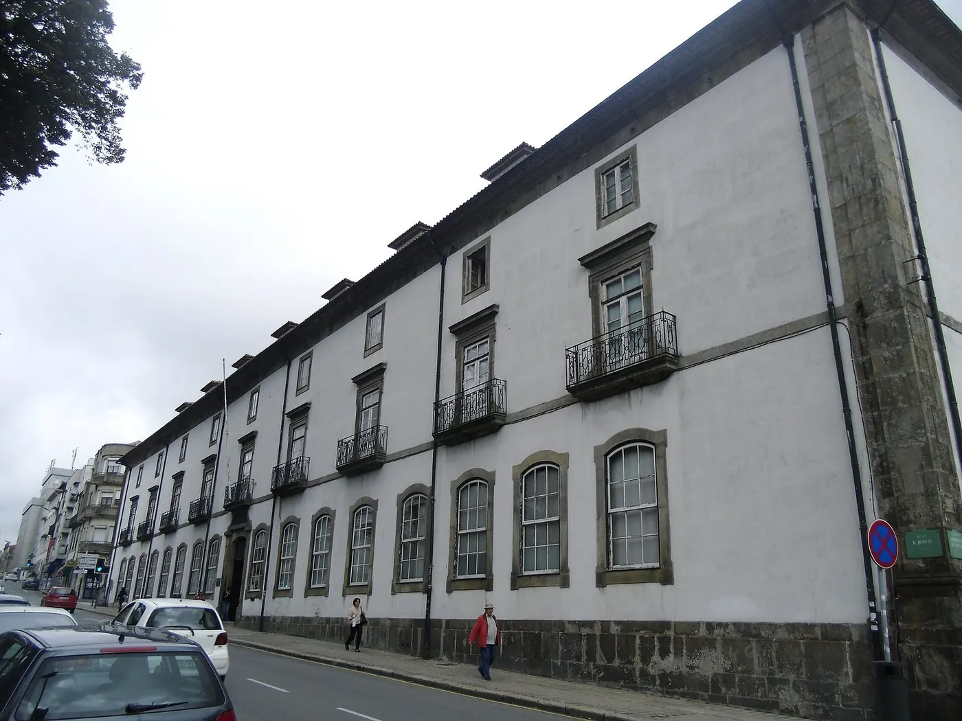
Cultural Heritage Along the Way
The Central Way is known for its rich cultural heritage, with numerous historic sites, landmarks, and cultural monuments. Pilgrims can visit the Mosteiro de São Salvador de Vairão, a monastery with heritage designation. The Capela do Senho do Padrão, a roman_catholic chapel, is another notable site. The route takes pilgrims through historic villages, where they can experience the local culture, try traditional cuisine, and explore the region's history and significance. The OSM tags indicate that these sites are well-marked and accessible, and pilgrims can expect to find them along the route. By exploring the cultural heritage along the way, pilgrims can gain a deeper understanding of the region's history and cultural significance. The WalkSage audio-guide can provide additional information about these sites, enhancing the pilgrims' experience.
Stage 1 Conclusion and Preparation for Stage 2
As pilgrims complete Stage 1, they can reflect on the rich cultural heritage and scenic landscapes they have experienced. The Central Way offers a unique perspective on the region's history, culture, and natural beauty. To prepare for Stage 2, pilgrims can review the route map and plan their itinerary. They can also use the WalkSage audio-guide to learn about notable sites and experience the local culture. By doing so, pilgrims can ensure a smooth transition to Stage 2 and continue to explore the region's cultural heritage and scenic landscapes. The practical rhythm of the walk will continue to allow pilgrims to experience the local culture and try traditional cuisine, and they can look forward to new experiences and discoveries in Stage 2. By understanding the crowd index and pageview seasonality, pilgrims can better navigate the next stage and make the most of their experience.
Points of interest
In walking order. Each stop is the audio chapter you'll hear in the app: the story, the Local Angle, and the sources behind both.
Igreja da Santíssima Trindade
attractionCrowds: not yet measuredIgreja da Santíssima Trindade is a roman_catholic church with heritage designation. It was built by architect José Luís Nogueira Júnior. The church is an instance of cultural heritage and a church building.
Local Angle
Less crowded than other Porto attractions, with a crowd_index of 0.5691 for the town.
Mercado do Bolhão
attractionCrowds: not yet measuredMercado do Bolhão is a historic marketplace and cultural heritage monument in Porto. It is an instance of cultural heritage and a marketplace.
Local Angle
A bustling marketplace, but explore the surrounding streets for a quieter experience.
Igreja e Torre dos Clérigos
churchCrowds: not yet measuredIgreja e Torre dos Clérigos is a baroque church and tower with national monument status. It was built by architect Nicolau Nasoni and is an instance of cultural heritage.
Local Angle
The tower offers a unique perspective on the city, away from the crowded streets.
Ponte Dom Zameiro
attractionCrowds: not yet measuredPonte Dom Zameiro is a cultural heritage monument and bridge in Vila do Conde. It is an instance of cultural heritage and a bridge.
Local Angle
A quieter alternative to the city's main attractions, with fewer visitors.
Capela de Nossa Senhora da Ajuda
chapelCrowds: not yet measuredCapela de Nossa Senhora da Ajuda is a roman_catholic chapel. It is a place of worship and a cultural heritage site.
Local Angle
A peaceful spot to rest and reflect, off the beaten path.
41.35341, -8.67961Sources: openstreetmap.org
Climate (Vilarinho (1991–2020 normals, nearest model grid point))
| Month | Mean temp (°C) | Precipitation (mm) |
|---|---|---|
| Jan | 9.2 | 172.7 |
| Feb | 9.7 | 111.4 |
| Mar | 11.8 | 131.8 |
| Apr | 13.4 | 128.2 |
| May | 16 | 109 |
| Jun | 18.7 | 40.7 |
| Jul | 20.6 | 21.9 |
| Aug | 21 | 31.3 |
| Sep | 19.2 | 69 |
| Oct | 16.1 | 189.6 |
| Nov | 12.3 | 193 |
| Dec | 10.1 | 187.7 |
Climate data: archive-api.open-meteo.com. Missing values are shown as "—", never estimated.
Sources
- https://www.wikidata.org/wiki/Q36433
- https://wikimedia.org/api/rest_v1/metrics/pageviews/per-article/pt.wikipedia/all-access/user/Porto/monthly/20250801/20260731
- https://archive-api.open-meteo.com/v1/archive?latitude=41.15&longitude=-8.610833&start_date=1991-01-01&end_date=2020-12-31&daily=temperature_2m_mean%2Cprecipitation_sum&timezone=UTC
- https://archive-api.open-meteo.com/v1/archive?latitude=41.338573&longitude=-8.681903&start_date=1991-01-01&end_date=2020-12-31&daily=temperature_2m_mean%2Cprecipitation_sum&timezone=UTC
- https://www.openstreetmap.org/relation/12786090